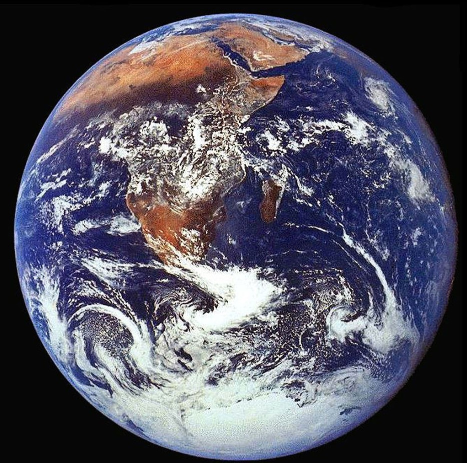
What Lies Below the Earth’s Surface?
Before diving into the new and extremely impressive research, it’s first important to understand the existing information of what lies beneath the Earth’s surface.
Source: iStock
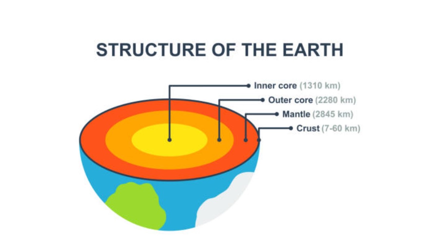
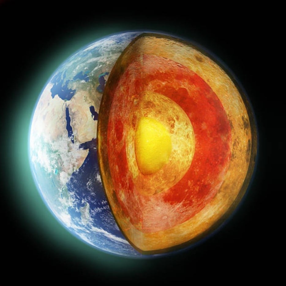
The Earth contains an inner-most spherical core known as the “inner core,” which scientists believe is 1,500 miles thick, made mostly of iron, and is exceptionally hot at around 7,200 to 9,000 degrees fahrenheit. Around the inner core sits the “outer core,” made of liquid iron and nickel; the outer core is about 1,367 miles thick. Then comes the mantle, which is mostly solid rock made from silicon and oxygen and is about 1,800 miles thick. Finally, the surface layer that humans can see is called the crust, made up of organic minerals and materials; the crust depth can vary from 3 to 43 miles thick.
How Deep Have Humans Dug Into the Earth?
Of course, scientists have always wanted to dig into the Earth to understand exactly what’s inside. But digging down has proved futile in accessing the Earth’s innermost layers.
Source: iStock
The deepest hole ever dug is called the Kola Superdeep Borehole. Completed by then-Soviet Russia, the hole took almost 20 years to dig, and it’s still only about 7.5 miles deep. That means the bottom of the hole only sits about one-third of the way through the Earth’s top layer of crust.
New Technology Allows Scientists to Finally Understand What Sits Deep Below the Crust
Luckily, there is finally a new technology that has allowed scientists to finally collect data from the Earth’s mantle layer and even into the liquid outer core, thousands of miles below the crust.
Source: Dimas Ardian/Getty Images
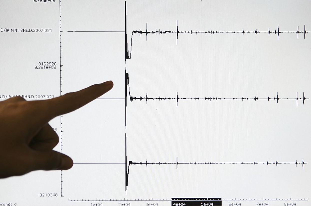
Scientists can now use seismic investigations, i.e., waves created by earthquakes, to map the topography of the inside of the planet.
The University of Alabama Took on the Project in Antarctica
Students from the University of Alabama, along with their professor, geologist Samantha Hanson headed down to Antarctica to use the new seismic technology in an attempt to map the Earth’s mantle and outer core.

Source: Mario Tama/Getty Images
They conducted their research from 15 different stations around the icy continent, and what they found is both surprising and wildly important when it comes to understanding the structure, geology, and even the weather of the planet.
Hansen Explained How the Technology Works
Samantha Hansen explained exactly what the new technology allowed her and her team to do in Antarctica: “Seismic investigations, such as ours, provide the highest resolution imaging of the interior structure of our planet, and we are finding that this structure is vastly more complicated than once thought.”
Source: iStock
She continued, “Our research provides important connections between shallow and deep Earth structure and the overall processes driving our planet.”
Breaking Down the Science
Essentially, the team in Antarctica sent seismic waves created by earthquakes down into the planet.

Source: Carl Court/Getty Images
These waves reached what the scientists are now calling the ultra-low velocity zone (ULVZ) which reports extremely strong wave speed reductions. Researchers now believe that the ULVZs is essentially a former ocean seafloor that sunk into the Earth all the way to the core-mantle boundary.
What They Found 1,800 Feet Below the Surface
With this new seismic technology, her team found that the inside of the planet is not flat as scientists once believed but full of mountainous peaks.

Source: John van Hasselt/Corbis/Getty Images
About 1,800 miles deep below the Earth’s surface, below the mantle within the outer core, Hansen and her team found a dense layer that spreads for miles and miles that varies dramatically in depth or height.
Mountains 5 Times Bigger Than Mount Everest Found Below the Mantle of the Earth
Edward Garnero, geophysicists from Arizona State University explained to the press, “The material’s thickness varies from a few kilometers to [tens] of kilometers. This suggests we are seeing mountains on the core, in some places up to five times taller than Mt. Everest.”
Source: Franklin Jacome/Agencia Press South/Getty Images
Of course, this finding alone is incredibly interesting as until now, scientists had no idea that there were mountains within the Earth’s inner layers. But the new data will also help geologists and physicists understand the weather, topography, and even magnetics of the planet.
How the New Discovery Explains Weather on Earth
Understanding hot spots on Earth has interested meteorologists and geologists for decades, and now, with this new information, they will finally be able to see how the core’s uneven surface directly affects the weather we experience on the surface.
Source: NASA/Getty Images
Further research will absolutely be conducted by scientists in a wide variety of fields to find out if we can better predict the weather based on the ULVZs mapping within the Earth’s core.
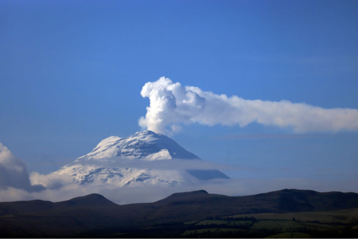
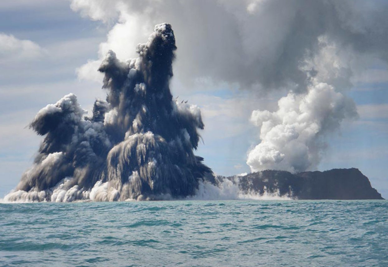
Volcanologists Will Learn a Great Deal From the Study of ULVZs
Another interesting aspect of the research of ULVZs and the internal mountain ranges is how it affects volcanic eruptions.
Source: Dana Stephenson/Getty Images
Although there is not yet enough data to confirm, researchers believe that this mountainous layer of the Earth creates hot spots or mantle plums which directly leads to volcanic activity on the surface. There’s no doubt that volcanologists will start using this information to attempt to better understand why and where volcanoes occur.
Research of the Core of the Earth Will Continue
While this new information is undoubtedly one of the biggest breakthroughs in geology in the last century, it’s only the beginning.
Source: Robert Alexander/Getty Images
Researchers will continue to use the new seismic investigative technology to map the mantle and outer core of the planet all around the globe until they fully understand exactly what is inside this incredible planet of ours.